
Satellite DataMR OPTICAL
Satellite DataSatellite Data
GaoFen-6


Download the Satellite Flyer-
- Satellite Introduction
- Image Gallery
GF-6 SATELLITE
HR Resolution, Large Swath, 8-band, Optical, Teamworking with GF-1 Constellation
GF-6 (short for GaoFen-6) is equipped with two cameras, one is high-resolution camera with 2 m panchromatic and 8 m multispectral resolution, the other is a wide-field imager (WFI), collecting 16 m multispectral imagery. The WFI has a large view field, providing the swath of 860 kilometers, and it is agriculture- & forest-oriented with its 8 multispectral bands. GF-6 teams with four identical GF-1 satellites, collecting huge amount of data. All GF-1&6’s historical data, daily updated WFI images and global coverage data with 16-m resolution are open to global users without restrictions.
Technical Specifications 
Mission life 8 years Weight 1064 kg Launch time Jun 2, 2018 Orbit Sun-synchronous, 10:30 am descending node, 645 km
altitude, 98° inclination anglePM Camera (PMC) Wide Field Imager (WFI) Sensor bands Panchromatic, blue, green, red, near-infrared Panchromatic, blue, green,
red, near-infrared, red-edge 1,
red-edge 2, coastal blue and yellowResolution (at nadir) Panchromatic: 2 m, multi-spectral: 8 m Wide-field imager: 16 m Locational accuracy 50m CE90 (w/o GCPs) 50m CE90 (w/o GCPs) Dynamic range at imaging 12 bits 12 bits Swath width (at nadir) 95 km 860 km Revisit capacity 4 days 1 day 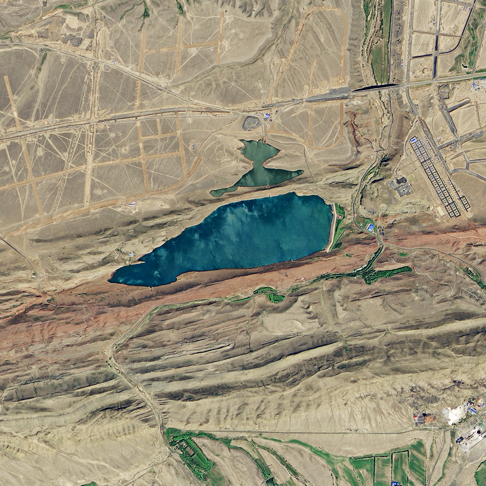 Water
Water Downtown
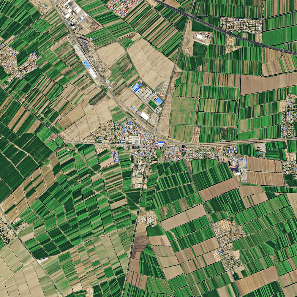 village
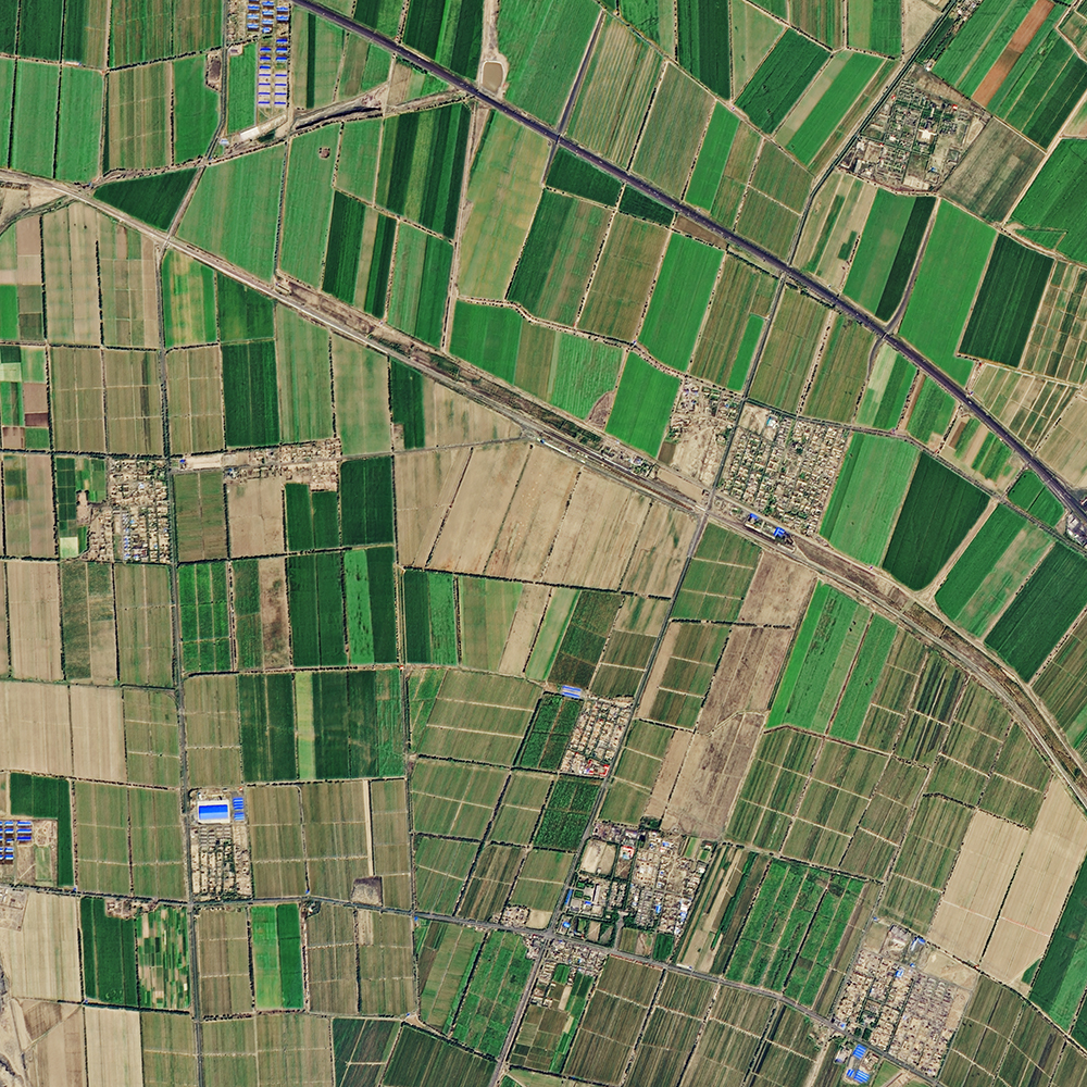 Village
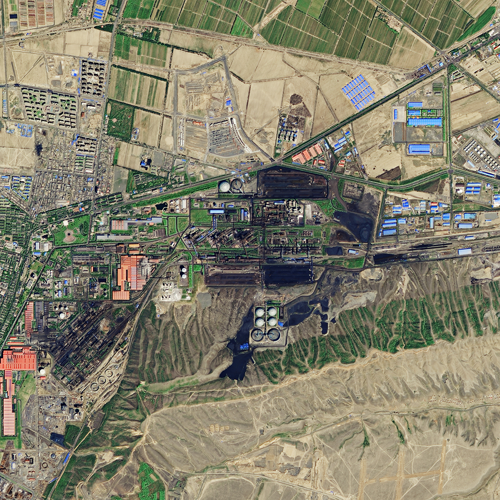 Factory
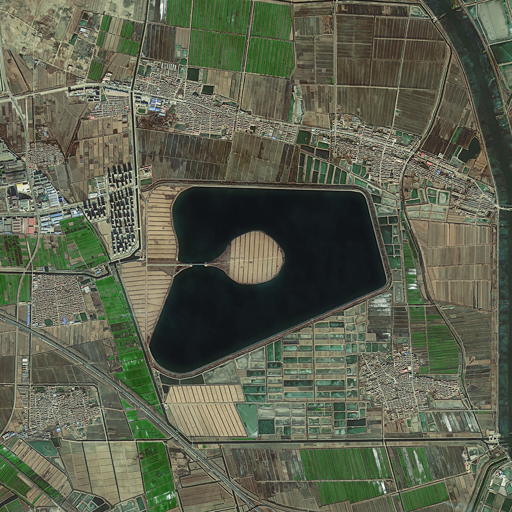 Lake
Lake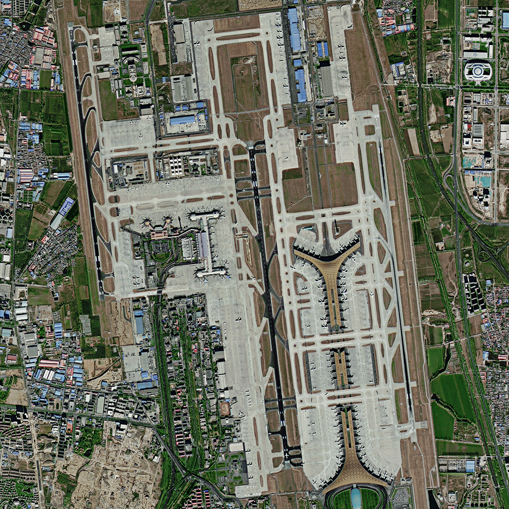 Airport
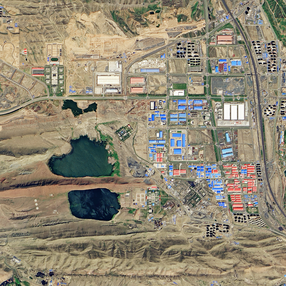 Suburbs
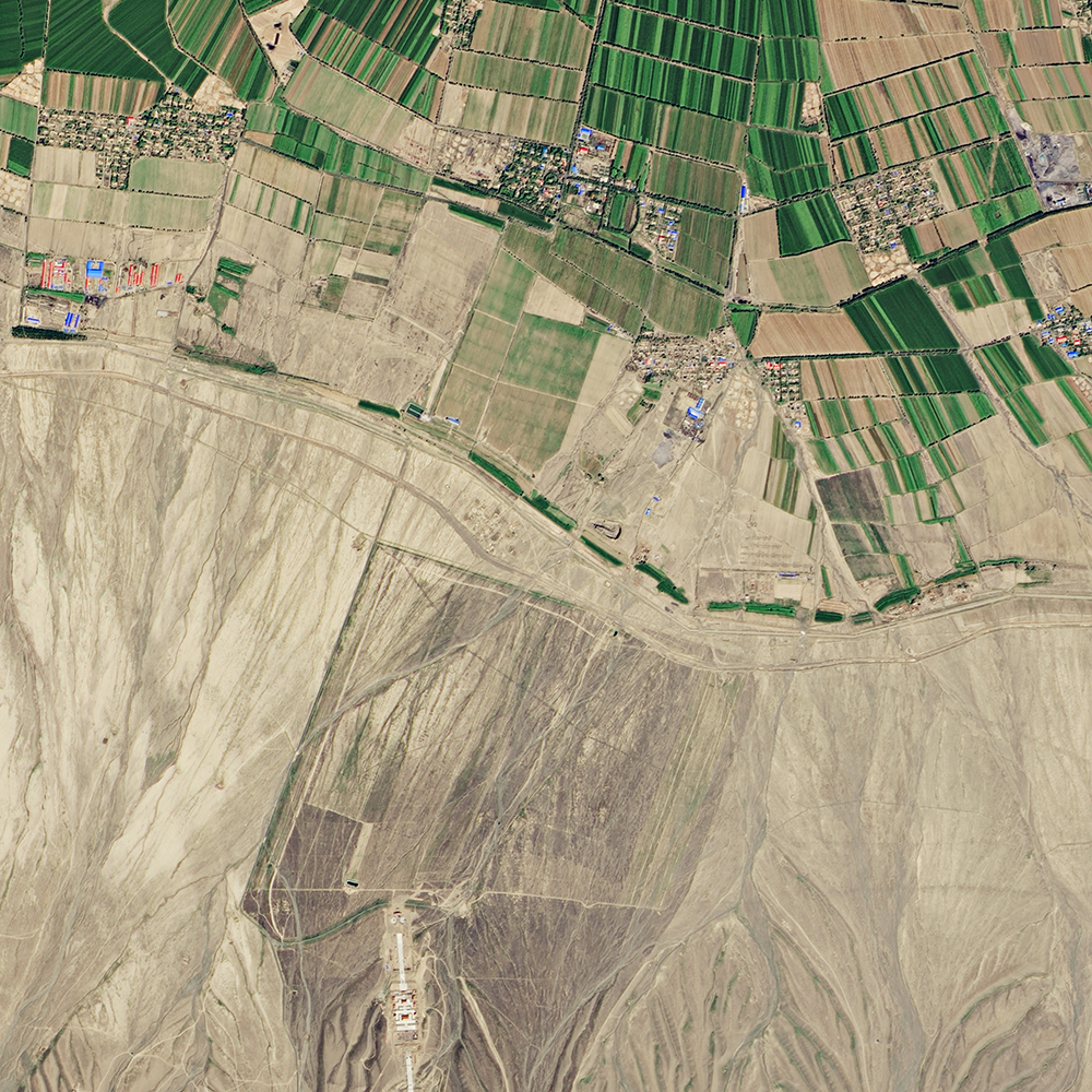 Bare_Land
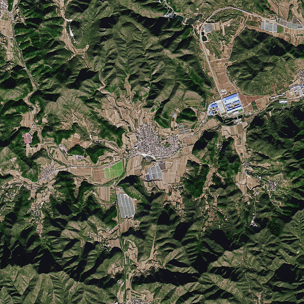 Hilly_Area