
ZiYuan-1 02


Download the Satellite Flyer-
- Satellite Introduction
- Image Gallery
ZIYUAN-1 02 SATELLITES
Hyperspectral, IRS, 8 MS bands, HR
ZY-1 02 (short for ZiYuan-1 02) is composed of two satellites that are almost identical. ZY-1 02D (also named ZY1E) was launched on September 12, 2019. It is equipped with two cameras, one is VNIR camera and the other is hyperspectral camera. The VNIR camera has eight multispectral bands, and it has a large view field, with 115 km swath width. The hyperspectral camera has 166 bands. Its follow-on satellite ZY-1 02E (ZY1F) was launched on December 26, 2021, apart from VNIR and hyperspectral cameras, it is also equipped IRS camera that collect 15 m resolution infrared-spectral data. The two satellites provide great supports in investigating land resources, emergent monitoring and supervising services.
Technical Specifications 
Number of satellites 2 satellites: ZY-1 02D and ZY-1 02E Mission life 5 years Weight 1840 kg Launch time ZY-1 02D: September 12, 2019; ZY-1 02E: December 26, 2021 Orbit Sun-synchronous, 10:30 am descending node
778 km altitude, 98.5° inclination angleVisible Near Infrared Camera Hyperspectral
CameraIRS Camera
(ZY-1 02E only)Sensor bands Panchromatic
Blue, Green, Red, NIR1
Coastal Blue, Yellow
Red Edge, NIR2Spectral Range:
0.4 μm ~ 2.5 μm
VNIR: 76 bands
SWIR: 90 bandsSpectral Range:
7.7 μm ~ 10.5 μmResolution (at nadir) Panchromatic: 2.5 m
Multispectral: 10 m30 m 15 m Locational accuracy 50 m CE90 (w/o GCPs) Dynamic range at
imaging12 bits Swath width (at nadir) 115 km 60 km 115 km Onboard storage 2 Tb Revisit capacity 5 days [Statement] These image samples are purpose for demonstration and non-commercial purposes by partners, clients, customers and users. Please be reminded of “SV/GF/ZY/HJ satellite imagery, SpaceWill's distribution” on the image in your use. Should you need any other images that are not released here, please connect us via marketing@spacewillinfo.com.
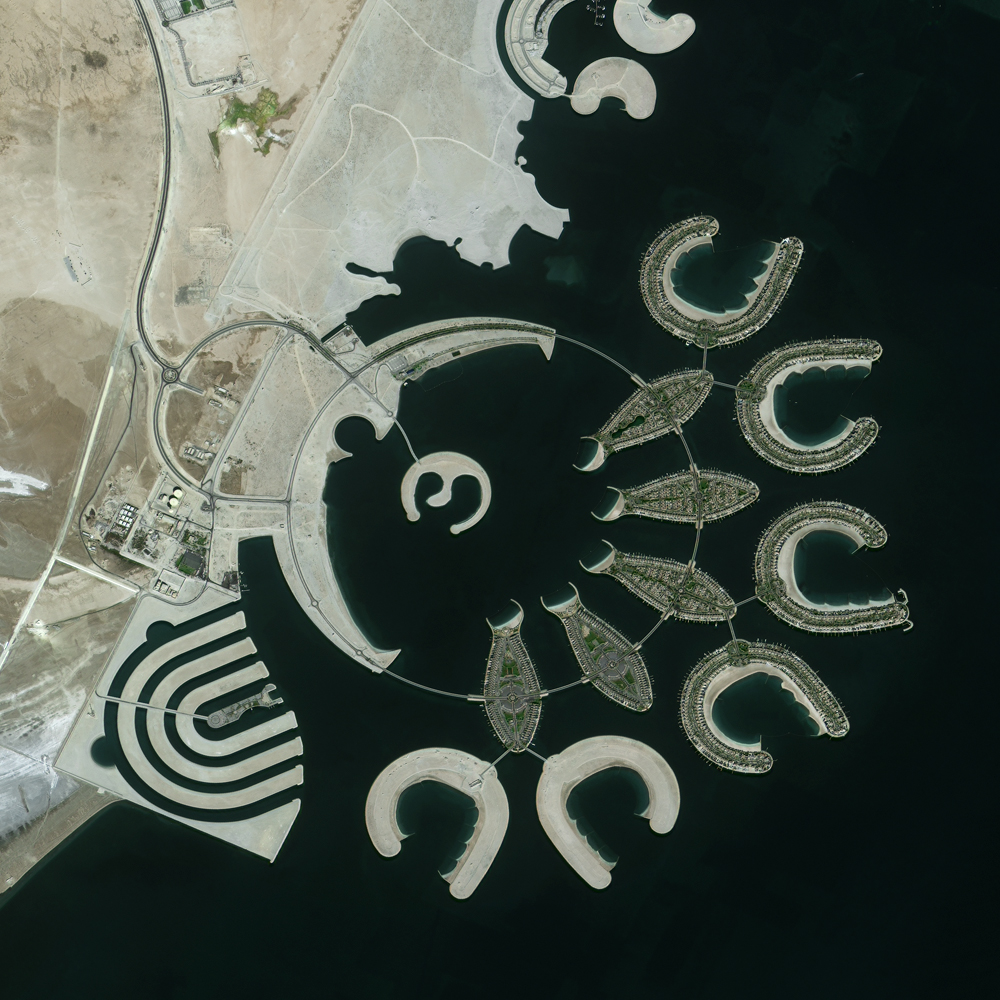 Durrat Al Bahrain, Bahrain