
GaoFen-4


Download the Satellite Flyer-
- Satellite Introduction
- Image Gallery
GF-4 SATELLITE
GEO Orbit, Optical, Regional Observation, Rapid Revisit
GF-4 (short for GaoFen-4) is a geosynchronous orbit remote sensing satellite and equipped with a staring camera provided with VNIR and MWIR bands. It observes China and the surrounding area by pointing control. The satellite provides fast, reliable and stable optical data to support disaster response, forestry, earthquake and meteorology applications, and supplements an advanced technology for alerting natural disasters, monitoring wild fires or typhoons.
Technical Specifications 
Mission life 8 years Launch time Dec 29, 2015 Orbit 36,000 km altitude, geosynchronous, fixed point location: 105.6°E VNIR MWIR Sensor bands Panchromatic, blue, green,
red and near-infraredMWIR Resolution (at nadir) 50 m CE90 (w/o GCPs) 400 m CE90 (w/o GCPs) Dynamic range at imaging 16 bits 16 bits Imaging modes Focal, mobile, large-area and
regional viewingFocal, mobile, large-area and
regional viewingCoverage/shot 500 x 500 km² 400 x 400 km² Revisit capacity Minute-class Second-class [Statement] These image samples are purpose for demonstration and non-commercial purposes by partners, clients, customers and users. Please be reminded of “SV/GF/ZY/HJ satellite imagery, SpaceWill's distribution” on the image in your use. Should you need any other images that are not released here, please connect us via marketing@spacewillinfo.com.
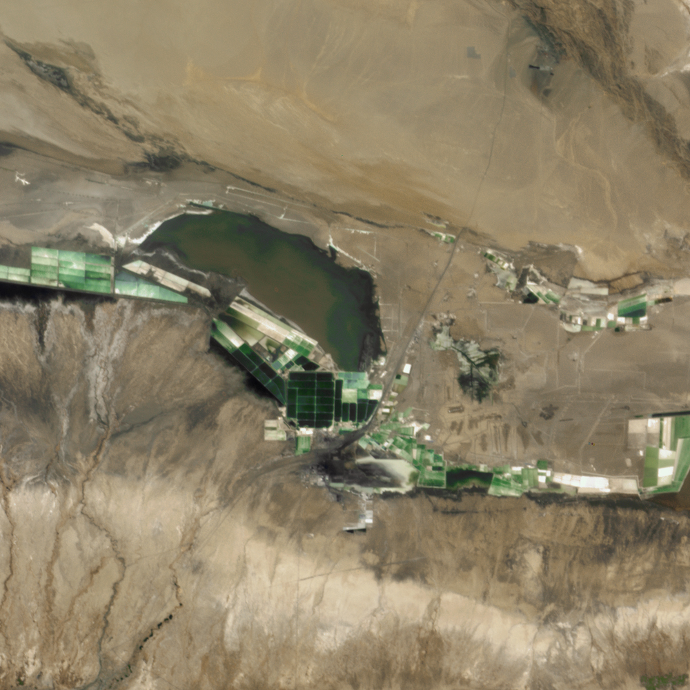 Dabusun Lake, Qinghai Province, Chin on Oct 13, 2021