
ZY-3

Data Sheet-
- Satellite Introduction
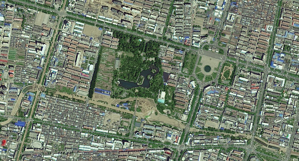
- Image Gallery
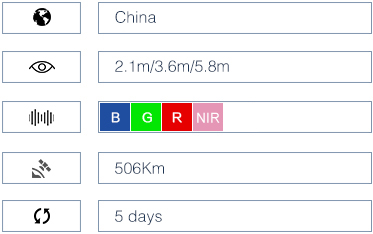
Launched in January 2012, ZY-3 is the first civil high-resolution stereoscopic Earth mapping satellite of China. It carries three high-resolution panchromatic cameras and an infrared multispectral scanner (IRMSS). The cameras are positioned at the front-viewing, vertical-viewing and rear-viewing positions. These cameras are able to take photos of the Earth from different perspectives at the same time, allowing precise determination of the exact locations of different places of interest on the photos, resulting in better production of large scale maps. At the same time, the payloads can also provide high-resolution infrared and stereoscopic images for satisfying resource mapping, environmental surveying, disaster monitoring, city planning and national security needs. The overall objective is to compile a database for the production of 1:50000 and larger scale maps and to provide data for resource mapping, environmental surveying, disaster monitoring, city planning and national security needs.

The Features
1. Stereo pairs and 2D imagery
ZY-3 takes 5 days to revisit the same site. It has 2 viewing modes, 3D viewing mode and 2D viewing mode. Its forward-viewing and backward-viewing panchromatic cameras create stereo pairs of imagery. And its vertical-viewing panchromatic and multispectral cameras create 2D imagery.
2. High accuracy
ZY-3 stereo pairs are applied to produce 1:50,000-scale maps, and 2D imagery applies to update 1:25,000-scale maps.
 ZY3_1
ZY3_1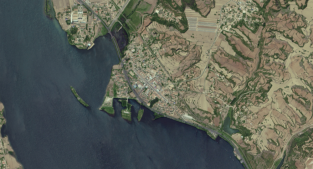 ZY3_2
ZY3_2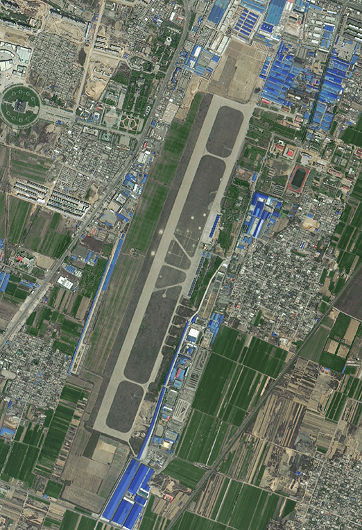 ZY3_3
ZY3_3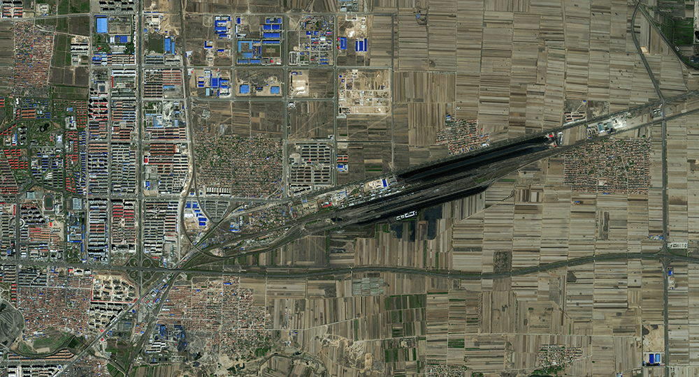 ZY3_4
ZY3_4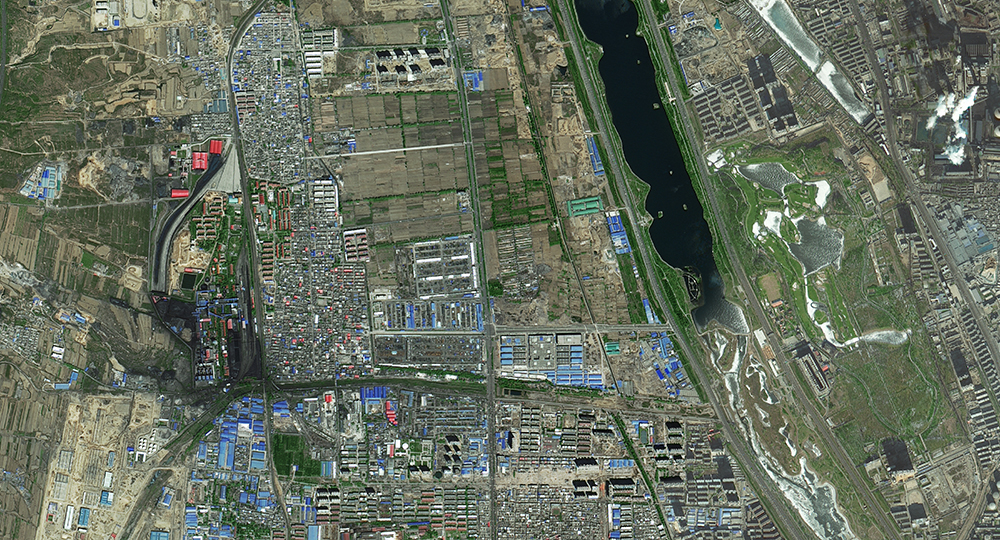 ZY3_5
ZY3_5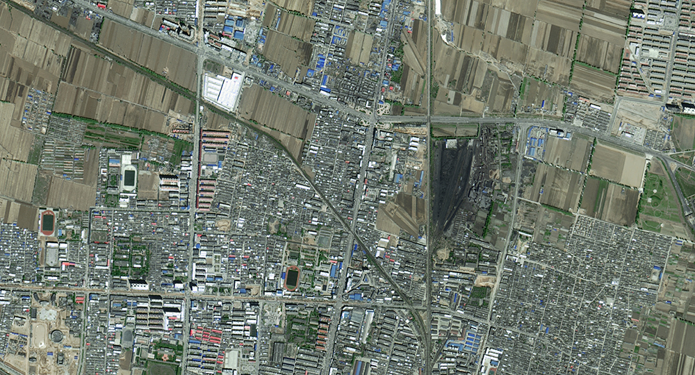 ZY3_6
ZY3_6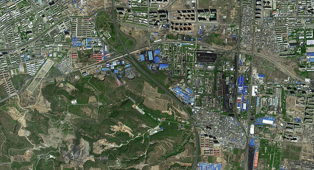 ZY3_7
ZY3_7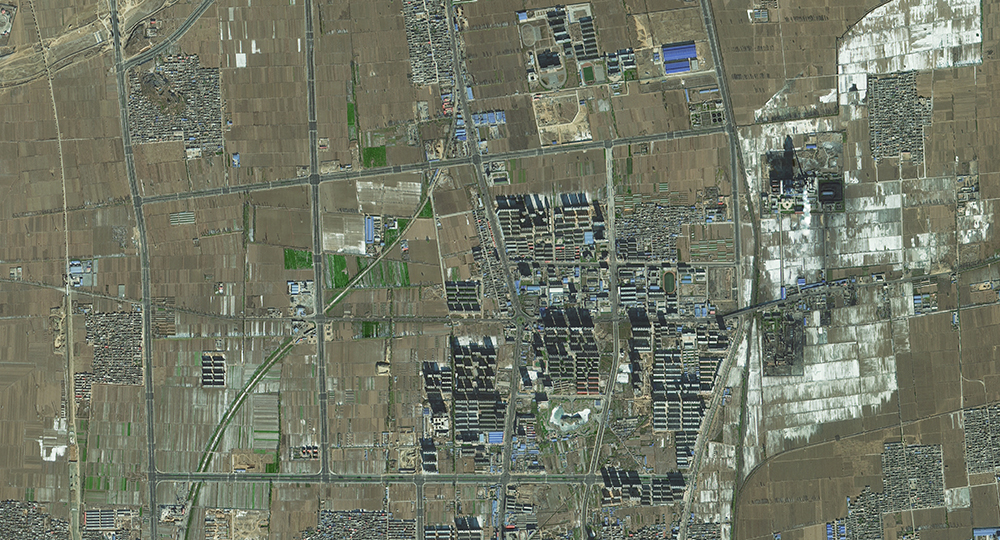 ZY3_8
ZY3_8 ZY3_9
ZY3_9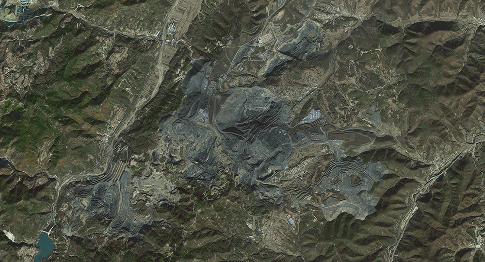 ZY3_10