Satellite DataVHR OPTICAL
VHR OPTICALVHR OPTICAL
GaoFen-7


Data Sheet-
- Satellite Introduction
- Image Gallery
GF-7 SATELLITE
65 cm, Bi-stereoscopic, Optical, Laser Altimeter
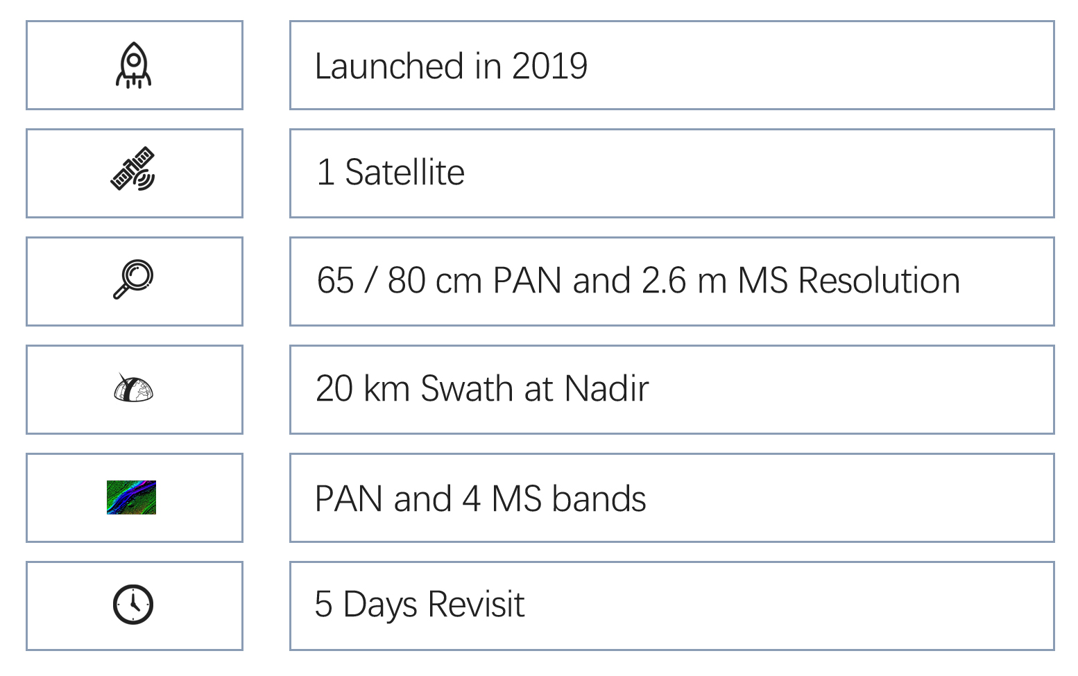
GF-7 (short for Gaofen-7) was launched on November 3, 2019. It is a very high-resolution optical imaging satellite, and collects bi-stereoscopic and panchromatic-multispectral imagery. It is also equipped one laser altimeter. The satellite collects overlap images and enables 1:10,000-scale stereoscopic mapping. Its laser altimeter provides great supports in mapping difficult geographic terrains. The satellite mainly applies in monitoring land resources, basic mapping, and investigating globally geographic features.
Technical Specifications 
Mission life 8 years Weight 2800 kg Launch time November. 3, 2019 Orbit Sun-synchronous, 10:30 am descending node, 506 km altitude Sensor bands Panchromatic, blue, green, red and near-infrared Resolution (at nadir) Panchromatic: 80 cm (front camera), 65 cm (rear camera);
multi-spectral: 2.6 m (rear camera)Locational accuracy 20 m CE90 (w/o GCPs) Dynamic range at imaging 11 bits Swath width (at nadir) 20 km (at nadir) Revisit capacity 5 days


