HuanJing-1


Download the Satellite Flyer-
- Satellite Introduction
- Image Gallery
HJ-1A&B SATELLITES
Archived Data Coverage of Land Surface of Whole Earth
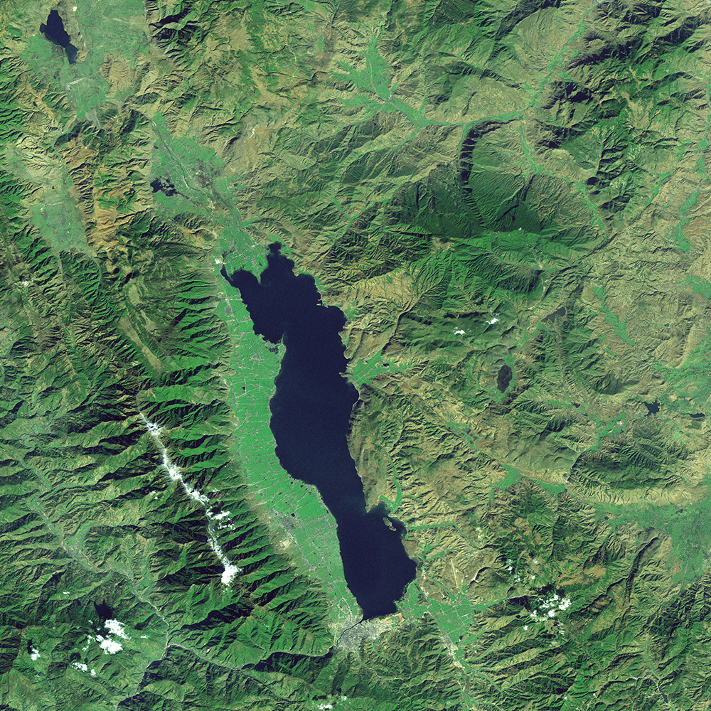
Launched on 6 September 2008, HJ-1 is composed of 2 optical satellites HJ-1A and HJ-1B, HJ-1A is equipped with 1 CCD camera and 1 hyperspectral imager, and HJ-1B is equipped with 1 CCD camera and 1 infrared camera. The 2 CCD cameras adopt the same design, and placed symmetrically at nadir and split the field of view and observe in parallel and realize imagery of 700 km swath, 30 m resolution and 4 spectral bands. The hyperspectral imager enables HJ-1A 50 km swath, 100m resolution and 110~128 bands and ±30° oblique viewing angle. The infrared camera enables HJ-1B 720 km swath, 150/300 m resolution and 4 spectral bands.
Technical Specifications 
Number of Satellites 2 satellites: HJ-1A and HJ-1B Launch time September 6, 2008 Mission Life 3 years Orbit Sun-synchronous, 10:30 am, descending node, 649 km altitude, 97.95° inclination angle HJ-1A HJ-1B Operational Operational Retired Cameras 2 x CCD Hyperspetral 2 x CCD Infared MS Resolution 30 m 100 m 30 m 150 m Sensor bands Blue, green, red and
near-infrared110-128
bandsBlue, green, red
and near-infraredRed-edge 1, red-edge 2,
coastal blue and yellowSwath Width (at nadir) 700 km 50 km 700 km 720 km Dynamic range at
imaging8 bits 12 bits 8 bits 10 bits Revisit capacity 4 days 4 days 4 days 4 days [Statement] These image samples are purpose for demonstration and non-commercial purposes by partners, clients, customers and users. Please be reminded of “SV/GF/ZY/HJ satellite imagery, SpaceWill's distribution” on the image in your use. Should you need any other images that are not released here, please connect us via marketing@spacewillinfo.com.


